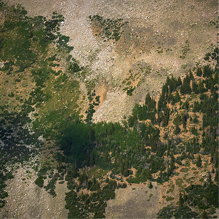
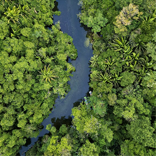
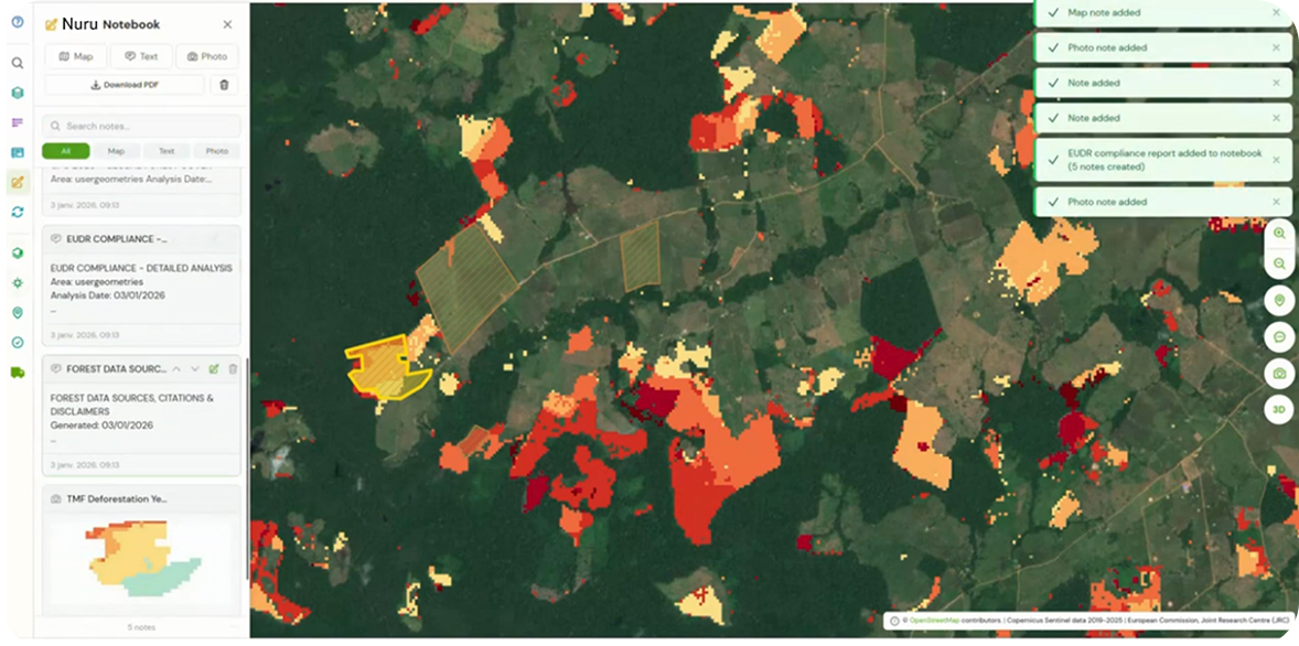
Deforestation
Water Pollution risk
Carbon Analysis
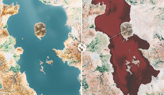
Drought, Floods Risks
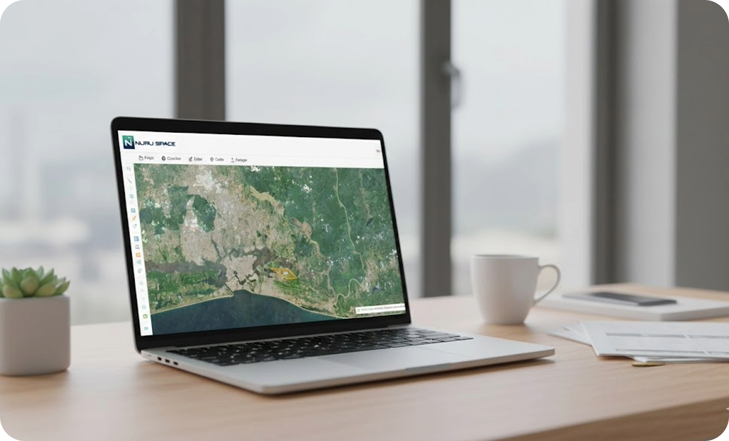
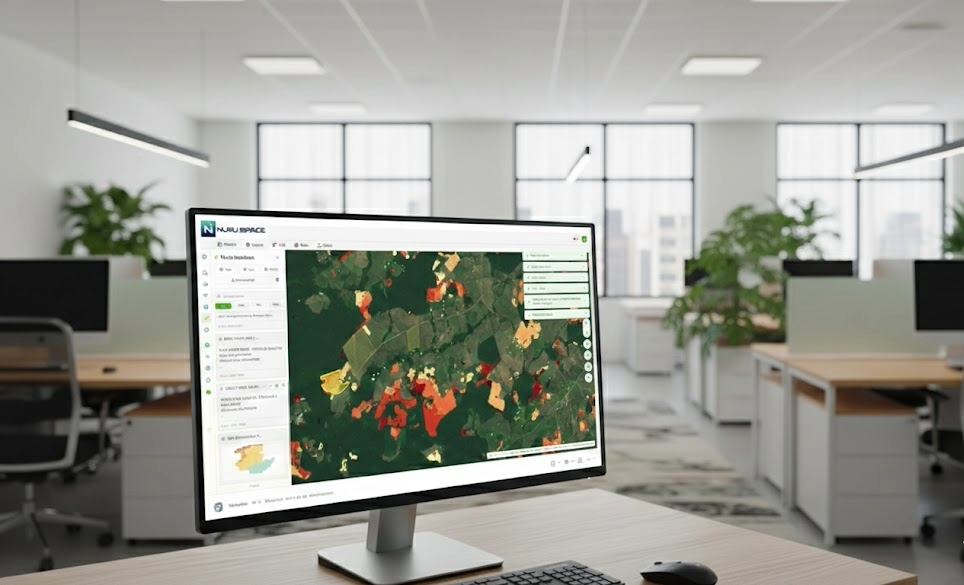
Nuru Space bring light to your data
EUDR, Carbon footprint
Pollution, and Flooding.
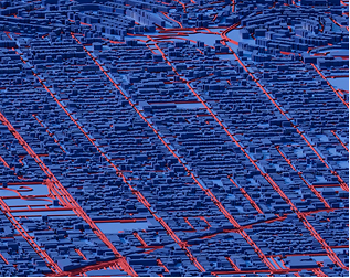
Solutions adapted to urban
and rural environments
high-resolution photo
purchases, custom
processing
AI Data Center, Predictive
Analysis Green Finance
Consulting
Personalized maps
Custom data layers
for total control of your geographic environment
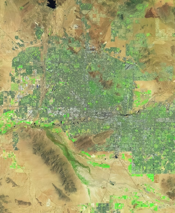
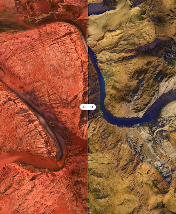
Understand a Territory by adding your areas of interest. True Color, False Color Infrared, Short wave infrared and many more for in-depth analyis
Book a demoVerify compliance with your area of interest
Composites and spectral Indices, NDVI / EVI / SAVI
Precise infrastructure inventory, Water management


Monitors flood disaster with GloFAS forecast and JRC Historial risk
NDVI, NDMI, MSI indices for a specific zone
Check reading and Combines Multiple indices
Our tool is designed to transform technical complexity into operational simplicity
Measure distances and areas with precision
seamless searching, filtering, and visualization
your results in standard formats for immediate integration
Our Sales Team will help you identify and licence the right Nuru Space Enterprise deployment for your organization. You can easily add users to support your growth.
Talk to Sales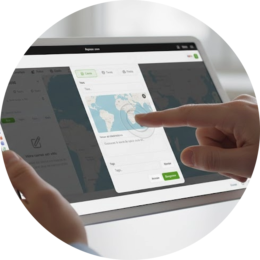
Guarantee your access to international markets through auditable proof of non-deforestation and certified carbon footprints.
Lead the development of your territories with unprecedented precision, urban sprawl tracking and precise infrastructure inventory.
Co-design of business solutions dedicated to your specific sector.
Knowledge transfer regarding GIS tools and spatial imagery for your teams.
Custom data studies and predictive modeling using AI.
Optimize asset management through crop health analysis, water management, and real-time alerts.